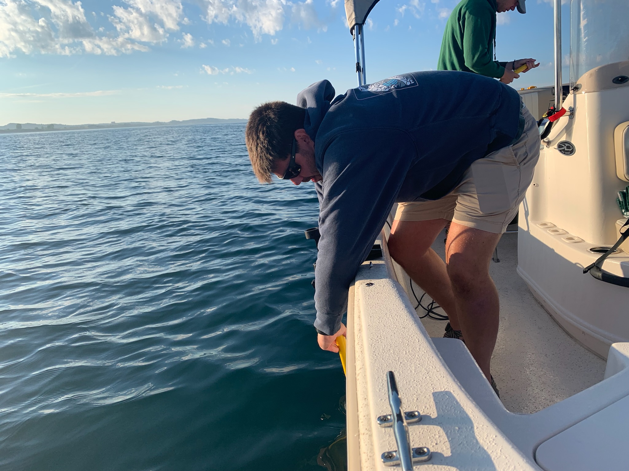
The Great Lakes are the lifeblood of Michigan, shaping the state’s geography, economy and culture. Yet, beneath the waves, the forces of nature and changes in climate are reshaping coastlines. To combat the growing threat of erosion, Michigan State University researchers are teaming up with several coastal communities to collect essential data — empowering local leaders with the knowledge needed to protect and preserve the state’s shorelines for future generations.
Struggling with rapid erosion
Ludington, a community with 28 miles of shoreline along Lake Michigan, has experienced these changes firsthand. In 2014, after a decade of low water levels, Lake Michigan’s levels began to rise rapidly, quickly eroding the beaches and foredunes that typically shield homes and businesses along the coastline.
State coastal managers were looking for answers to address the concerns of residents and business owners. They wanted to find ways to protect Michigan’s coasts now and in the future, but they lacked long-term coastal data to reference.
One of the first questions they wanted to address: where was all the eroded sand going and, if given time, would the lake’s waves naturally bring it back?
“We found that in some cases, short-term solutions like seawalls only ended up creating long-term problems later,” says Ronda Wuycheck, coastal management program manager with the Michigan Department of Environment, Great Lakes and Energy, or EGLE. “We needed a unique skillset and knowledge base so that we could make better-informed decisions for today and tomorrow.”
Partnering for science-backed solutions
EGLE found an ideal partnership with Ethan Theuerkauf, an assistant professor of geography in the College of Social Science at Michigan State University, who is an expert in coastal landforms such as beaches, cliffs and dunes, and what happens to them as they are exposed to waves, wind and weather.
“During the rising water levels, rapid and high-magnitude erosion was reported throughout the Great Lakes region,” says Theuerkauf. “Since these events had a direct impact on Michiganders, understanding what happens in coastal systems during these changing water levels became imperative, and we kept this idea at the forefront.”
For the past five years, Theuerkauf and his team have been working with EGLE on the Michigan Coastal Management Program, or MCMP. This program helps inform coastal management decisions along Michigan’s coastlines by providing scientifically backed resources to coastal communities and empowering them to build resilience to changing conditions.
As a result of this partnership, the Nearshore Sediment Study was created to identify and track where erosion was moving the sand from Lake Michigan’s beaches.
“By mapping the beach and nearshore environment after high lake levels, we were able to document where eroded beach sand went and how it was being recovered during falling lake level,” says Theuerkauf. “Ultimately, this information is being delivered to coastal communities to guide them in decision-making related to the future of their coast.”
Ludington State Park is one of the key sites for this project. Theuerkauf and his team have studied the sandy beach and foredune system along the central eastern shoreline of Lake Michigan, focusing on how storms and high waves accelerate erosion.
Providing a clear picture of erosion and recovery
“We have been using cutting-edge approaches and technologies, such as aerial drones and remotely operated boats, to better understand coastal change along Michigan’s coastlines,” says Theuerkauf. “Specifically, we want to identify areas of erosion and deposition along the coast, define what is causing these changes and forecast where sand might move in the future.”
While most of the eroded sand is deposited relatively close to the shoreline, the chances that the lake’s waves will naturally return the sand to the shoreline quickly is slim. This kind of data is invaluable for providing a roadmap to communities and local businesses as they plan for the future.
“We know we will have future cycles of high and low water levels, and we want to empower residents and business owners to make the best decisions going forward,” says Wuycheck. “This partnership with MSU has far exceeded our expectations of how a university can work with the community and is an example for other communities to show them how research can help support the community in a meaningful way.”
Ludington is a stop on the 2024 Spartan Bus Tour.
