Michigan State University researchers could help predict seasonal changes in the Great Lakes Basin by developing a new groundwater model to monitor surface and groundwater flow using a $960K grant from the National Science Foundation.
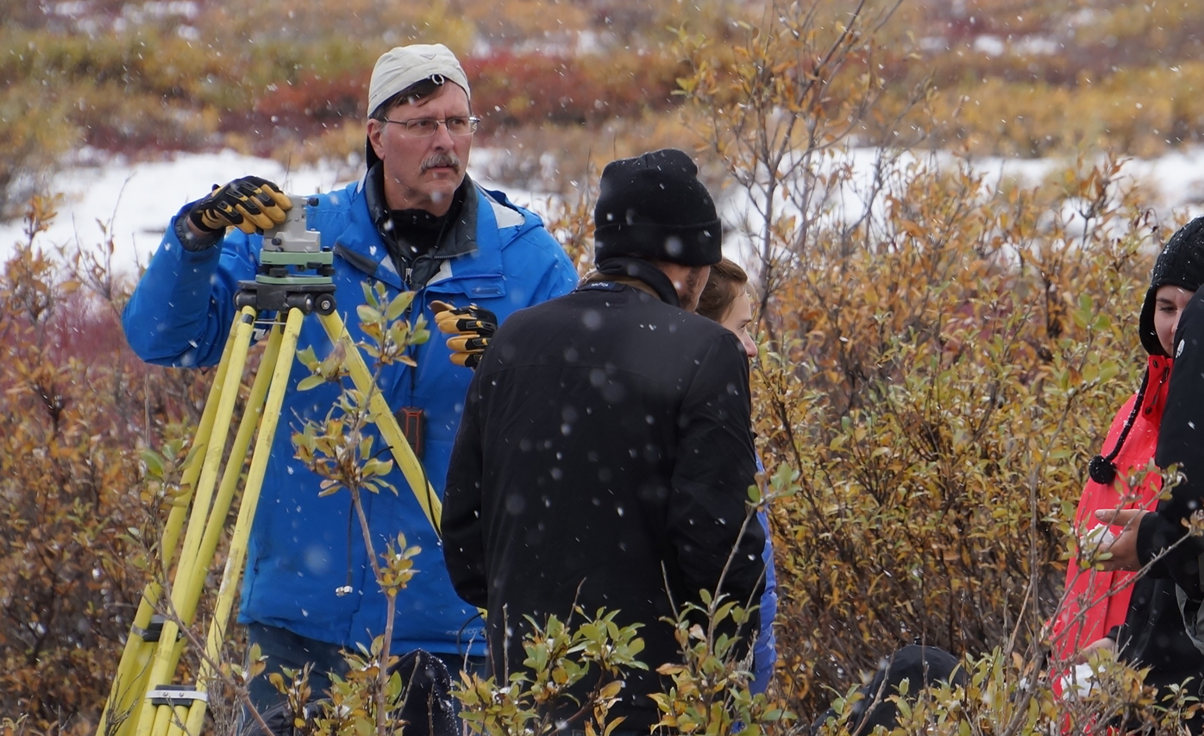
“We already have very good monitoring of the lake levels in the Great Lakes,” said Jeffrey Freymueller, a professor in the College of Natural Science and an internationally recognized expert in geodesy, or the study of Earth’s shape. “But surface water is difficult to measure when you look at things like wetlands, and groundwater changes with time are only known at a few monitoring wells.”
Surface water is the freshwater that makes up our streams, lakes and wetlands. Surface water is often fed by groundwater, which flows below the Earth’s surface and comes from snowmelt and rainfall.
“There's actually not very much research or data that tells you about how groundwater varies or changes with time and it is important to know if the amount of groundwater is increasing or decreasing,” Freymueller said. “For example, if somebody drills a well for their house or a business, you know how many feet down you get water but that's only one moment in time.”
Developing this model will provide a more complete picture of where and when the water flows in the Great Lakes Basin.
“If we're successful in producing such a groundwater model system, this would be the first time that we have a more precise picture about how the water is changing with time," Freymueller said. “This information is going have a huge number of other downstream impacts because if you know how long it takes the groundwater to travel and which path it takes, we can track things like contaminants."
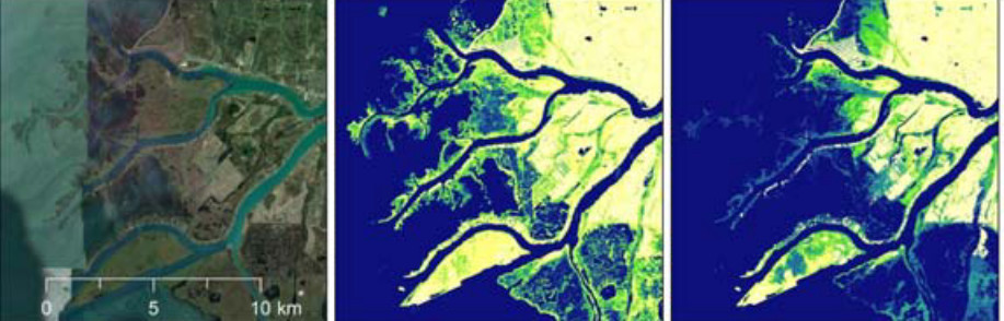
To create the model, Freymueller and his team are combining three types of data that haven’t been fully exploited yet to get a more detailed view of changes in surface and groundwater in the Great Lakes Basin. First, is radar remote sensing data from satellites which can map the seasonal and long-term changes to the surface water in the wetlands. Next, geodesy measurements reveal any changes to the shape of Earth’s surface — specifically how the weight and amount of water pushing down on the Earth’s surface is deforming it in small but measurable ways. The third piece of the new model is a hydrological model that computes where surface and groundwater are flowing.
By fusing these different types of tools and data together, Freymueller and his team hope to produce a new model that will address issues of water quantity and quality while enabling water resource managers to be able to better address questions related to the use of water resources such as, which direction is the groundwater flowing and how fast is it flowing? The model could also be used as a predictive tool.
“For example, it might be possible, a few months before the Great Lakes reach their seasonal peak, to predict what that seasonal peak would be,” Freymueller said.